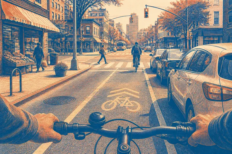
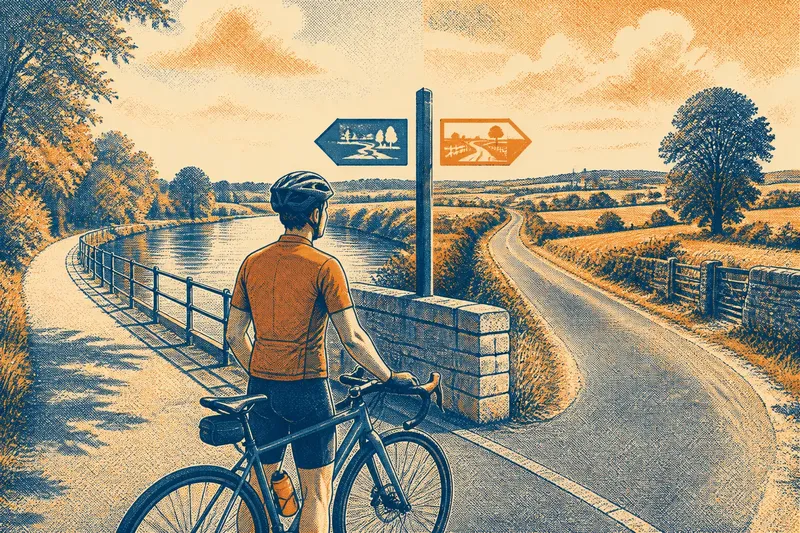
Before the Map App: Finding a Way by Bicycle
Before the map app, bicycle navigation relied on memory and paper maps; see how each method shaped route choices, attention, and the feel of a journey.
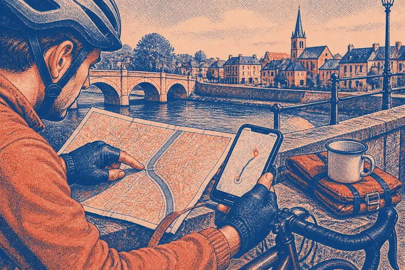
The common mistake in comparing bicycle navigation methods is to treat them as interchangeable ways to reach the same point. They do more than locate a turn: each gives a rider a different picture of the journey. Before the map app, finding a way by bicycle meant remembering landmarks, reading printed maps, or asking someone nearby. Digital navigation made routes easier to summon, but it also changed what counted as knowing the way.
How did cyclists find a route before map apps?
They combined local knowledge, visible landmarks, printed maps, and directions from other people. A rider might know that the road past the railway bridge led toward the river, carry a folded street map for unfamiliar districts, and ask at a shop when the route became unclear.
These sources answered different questions. Memory suggested what came next; a map showed how streets connected; a landmark confirmed a position; conversation filled gaps that paper could not anticipate. None needed to work alone. Directions such as “follow the tram tracks, then turn at the church” were compact because both people could refer to things already present in the landscape.
Route knowledge often accumulated through repetition. A rider learned the sequence of junctions and the feel of a gradual climb, not merely a line between two names. That knowledge could be useful and selective: it held the details relevant to a particular journey, while leaving other streets unknown.
What did a printed map make easier to see?
A printed map made relationships visible at a glance. It showed branching roads, rivers, rail lines, town centers, and possible detours on the same sheet. Instead of receiving one turn at a time, a cyclist could compare alternatives and ask whether a route followed a valley, crossed a bridge, or skirted a busy center.
Paper also had limits. Street names could be tiny, folds could hide a junction, and a map might not show recent changes or useful details such as a path’s surface. The reader had to translate a flat symbol into a place, then keep enough of that translation in mind while riding. A map was like a recipe left open on a kitchen counter: useful for the whole sequence, but awkward to consult with both hands occupied.
For cycling, the scale mattered. A regional map helped plan the broad direction, while a detailed town map showed local streets. Riders sometimes carried more than one, or marked a route before leaving. The map encouraged a view of the whole journey, but the cyclist still had to recognize the ground beneath the wheels.
What changed when digital navigation arrived?
Digital navigation made it possible to search for a destination and receive directions while moving. A phone could recalculate after a missed turn, display a current position, and present a route without requiring the rider to memorize every junction first. For someone unfamiliar with a place, this reduced the need to translate an entire map into a sequence of remembered instructions.
The tradeoff was a narrower frame. Turn-by-turn guidance tends to emphasize the next decision: continue, turn, or take an alternate road. The larger shape of the route can recede behind the immediate prompt. A rider may reach the destination while retaining little sense of how the neighborhoods connected.
Digital maps can also make a route appear more certain than it is. A line on a screen does not explain whether a path is comfortable to ride, whether a crossing feels awkward, or whether a narrow street suits the rider’s pace. The device can offer a route; the person on the bicycle still judges the place.
Which navigation method suits which journey?
The best choice depends on what the ride requires. Printed maps and remembered landmarks are useful for seeing the broad arrangement of a place and building a mental route. Digital directions are handy when junctions are unfamiliar, plans change, or a rider needs to locate a specific address.
- Choose a printed map when comparing several route options or following a long-distance direction.
- Use landmarks and memory on a route that is familiar enough to ride without frequent checks.
- Use digital guidance when street names and turns are difficult to keep straight.
- Combine methods when the broad route is clear but a few complicated sections need closer attention.
Imagine a cyclist heading from a station to a riverside district in an unfamiliar town. They check a paper map to see which bridge and main streets fit the overall direction, then use a phone for a tangled set of central junctions. Once the river becomes a clear landmark, they can follow it without watching the screen at every turn. The expected observable result is a route understood in broad outline, with digital prompts reserved for the parts that need them.
What questions do cyclists ask about finding a way?
Can a cyclist follow a route without checking a phone?
Yes, if the route is known or can be broken into recognizable landmarks and junctions. A paper map can help establish the sequence before the ride, while local signs and visible features help confirm progress.
Are printed maps still useful for bicycle travel?
They remain useful for seeing the shape of an area and comparing roads beyond the next turn. Their detail and currency vary, so a map should be treated as a representation of the route rather than a description of every riding condition.
Why can a navigation app send a cyclist onto an unsuitable road?
A route can be connected on a map yet feel poor on a bicycle because surface, traffic, access, or crossing conditions are not captured well by the displayed line. Check the route’s context and use judgment when the street itself suggests a different choice.
What should a rider do when the directions stop making sense?
Pause somewhere safe, identify a visible landmark, and compare it with the map or directions before choosing a new turn. Continuing on a doubtful route often adds confusion without supplying useful information.
Does digital navigation replace knowing the route?
No. A device can store a route and announce its next turn, but it does not automatically give the rider a sense of the area’s layout. That sense grows by noticing how roads meet, where landmarks sit, and which direction the landscape opens.
Before the map app, finding a way by bicycle depended more openly on memory, paper, and conversation. Digital navigation shifted much of the instruction onto a screen, making directions easier to call up while sometimes leaving the broader route less familiar. A useful habit is to glance at the whole route before setting off, then let the chosen method handle the details it handles best. A cyclist who knows whether the river lies east or west of the destination has one more way to recover when the screen goes blank.